Producer stories
Breathing life into rugged Texas terrain
Breathing life into rugged Texas terrain
Breathing life into rugged Texas terrain
Breathing life into rugged Texas terrain
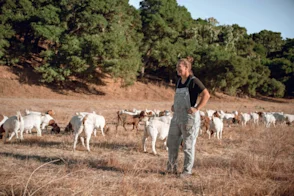
Producer: Bob Spikes, Texas
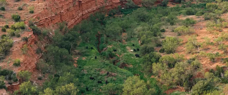
In the heart of Fisher County, Texas, ranching means working country that is as rough as it comes. Deep-cut creeks, washed-out roads, and miles of hard-to-reach pasture make every day a challenge.
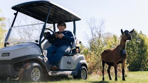
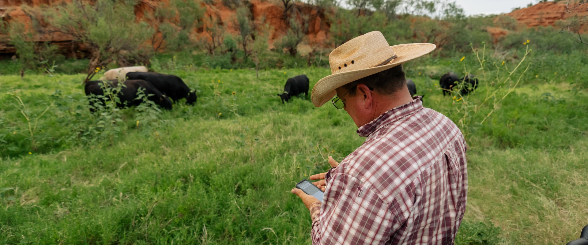
For Bob Spikes, cattle have always been a part of life, even during his 37-year career as a school administrator. Now retired, he is pouring his full attention into reviving a long-neglected 700-acre lease. With Nofence, Bob is finding more efficient and less labor-intensive ways to graze cattle in some of the most unforgiving terrain West Central Texas can offer.
“Some of the other systems needed expensive base stations and line of sight. That’s a no- go out here. It’s just too remote. With Nofence, I can track and contain the herd even in areas where I couldn’t buy a signal with a 400-foot tower." - Bob Spikes
Ranching roots, reimagined
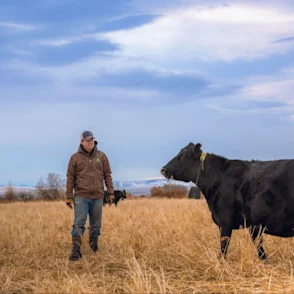
Ranching runs in Bob’s blood. “My grandfather was born in 1895 and made his living as a rancher,” he says. “Those roots go way back.” After 37 years in the school system, he retired and turned his full attention to the work that had always been part of his life. Together with his wife, he owns 950 acres in Fisher County to run his cow/calf operation.
In 2024 he took on a new challenge by leasing an additional 700 acres of rough, overgrown land. The lease centered on long-term improvements to restore the land’s productivity, repair access to the pasture and building a corral. From the start, Bob knew the creek crossings would be one of his biggest challenges.
“The first time it rained, the creek crossings got washed out. For six weeks I couldn’t even get over there,” he says. Red Creek, with its 235-foot elevation drop, cuts through the property and creates water gaps that never last. “We call them water gaps because they’re only there until the next rain washes them away. It would be an endless battle to keep fences up.”
Why Nofence?
Between the unstable creek banks, washed-out roads, and miles of rough ground, building and maintaining a physical fence here would be costly and short-lived. This country demanded a fence that could cross rock, brush, and creek without a single strand of wire.Bob looked into all the virtual fencing providers before choosing Nofence.
He wanted something straightforward to run, without the hassle of extra equipment, and that could still do the job in country where cell service is limited but steady enough to count on. “I ran the numbers,” he says. “Some of the other systems needed expensive base stations and line of sight. That’s a no-go out here. It’s just too remote.”
Restoring land with rotational grazing
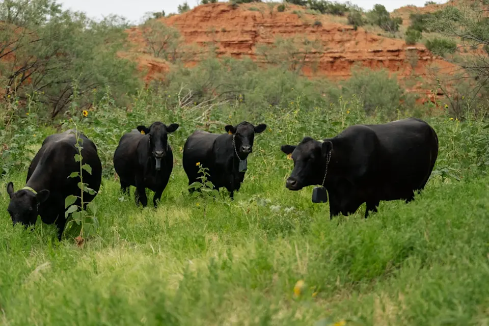
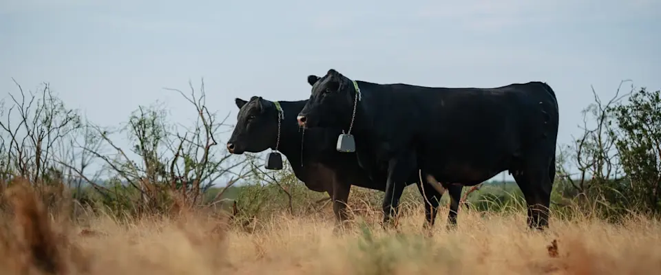
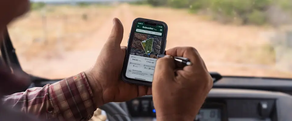
What stood out about Nofence was the use of GPS-based boundaries without any need for base stations. “With Nofence, I can track and contain the herd even in areas where I couldn’t buy a signal with a 400-foot tower,” Bob explains. He also liked that the collars could be managed entirely from his phone, allowing him to adjust grazing areas on the go.
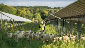
The leased land hadn’t been grazed in over 18 months. The creek bottoms were overgrown, while upland areas looked like “the Mojave Desert.” But Bob sees potential. Using the app, he mapped out a rotational grazing system that moves cattle through different areas while ensuring they have access to a water source.
“If I can use this system to graze a few more cows on the same land, that pays for the collars,” he says. “And if I don’t have to fight the creek crossings every time it rains, that’s a huge win.”
Related stories
Related stories