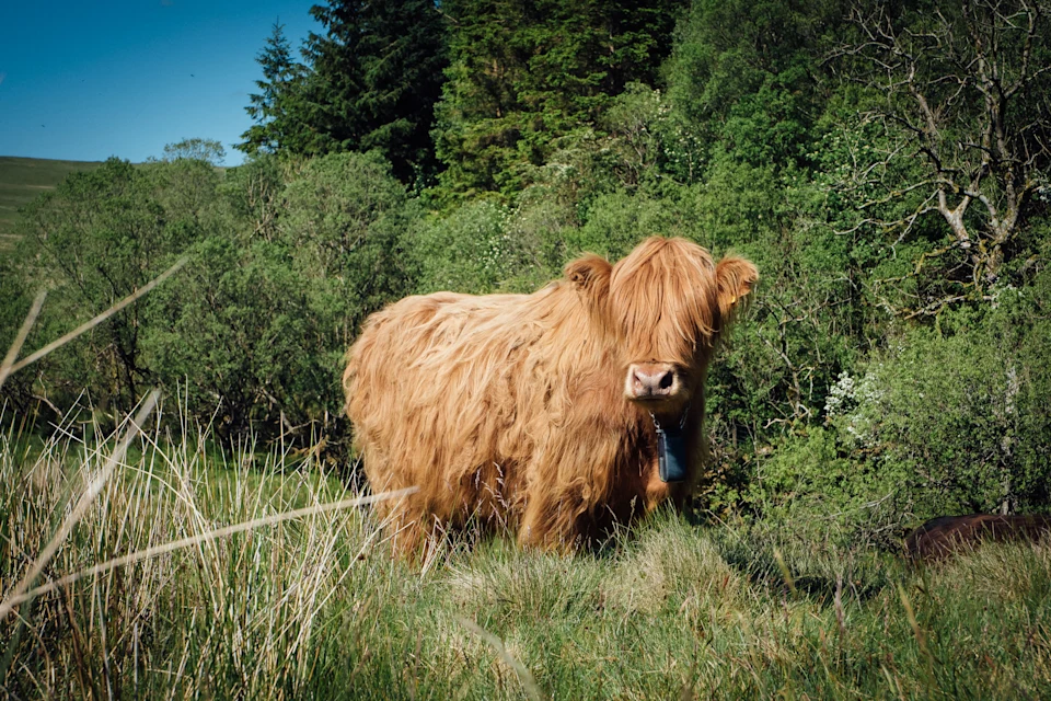
Before getting Nofence
The Nofence public grazing map
The Nofence public grazing map
The Nofence public grazing map
The Nofence public grazing map
The Nofence Public Grazing Map is a community safety feature designed to help the public view active Nofence collars and pastures within a about a 12 mile radius of their current location.
By making this information accessible, passersby can safely navigate shared outdoor spaces and avoid unexpected encounters with grazing livestock.
The Nofence Grazing Poster
To help bridge the gap between producers and the public, Nofence provides an official Grazing Poster. This poster serves a dual purpose:
Information and safety: It informs people that livestock equipped with Nofence collars are grazing in the immediate area and kindly asks for their caution.
Interactive map access: The poster includes a scannable QR code. When scanned with a smartphone, it takes the user directly to the public grazing map to view the exact pastures and collar locations.
Recommendation: If your livestock grazes in areas frequently accessed by the public (such as popular hiking trails or common lands), we highly recommend displaying these posters to keep your community informed and your livestock undisturbed.
Privacy by default: how to share your map
As a Nofence customer, your privacy is strictly protected. None of your collars, pastures, or personal contact information will appear on the public map unless you explicitly grant access.
To share your grazing data and request your poster, follow these simple steps:
Open the Nofence App on your mobile device.
Navigate to the Settings menu.
Select Join public grazing map.
Once you have successfully opted in, your active pastures and shared contact info will become visible to the public within about a 12 mile radius. Upon joining, you will also be able to have the official Grazing Poster sent directly to your email for easy printing and displaying.